
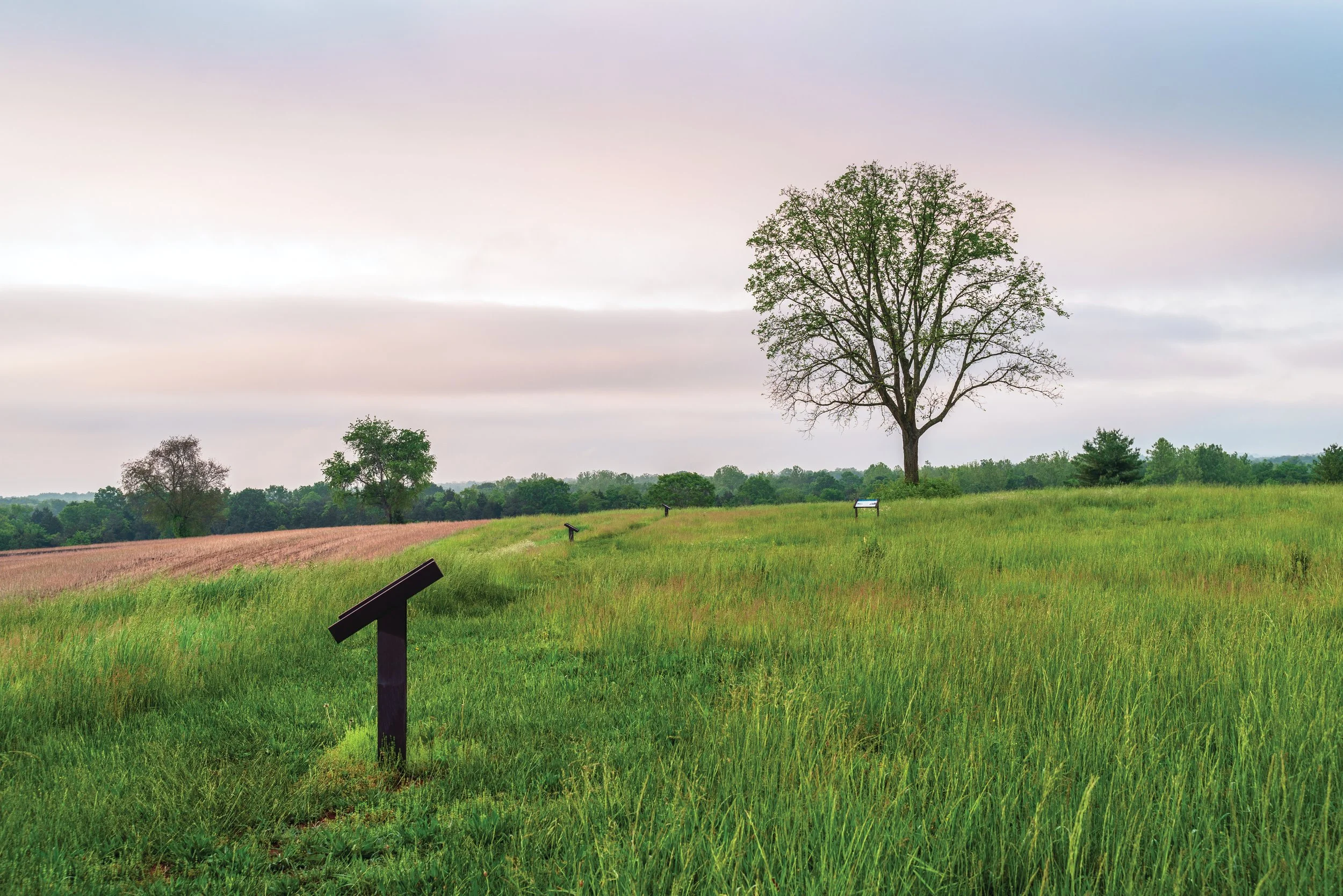
Maps of Culpeper
Planning to explore the hallowed ground of Culpeper? Be sure to bring one of the most valuable battlefield resources: historic battle maps! Whether you’re following troops movements with historic battle maps or examining available trails in the park, we hope these maps offer an essential guide to understanding the landscape and the events that unfolded here.
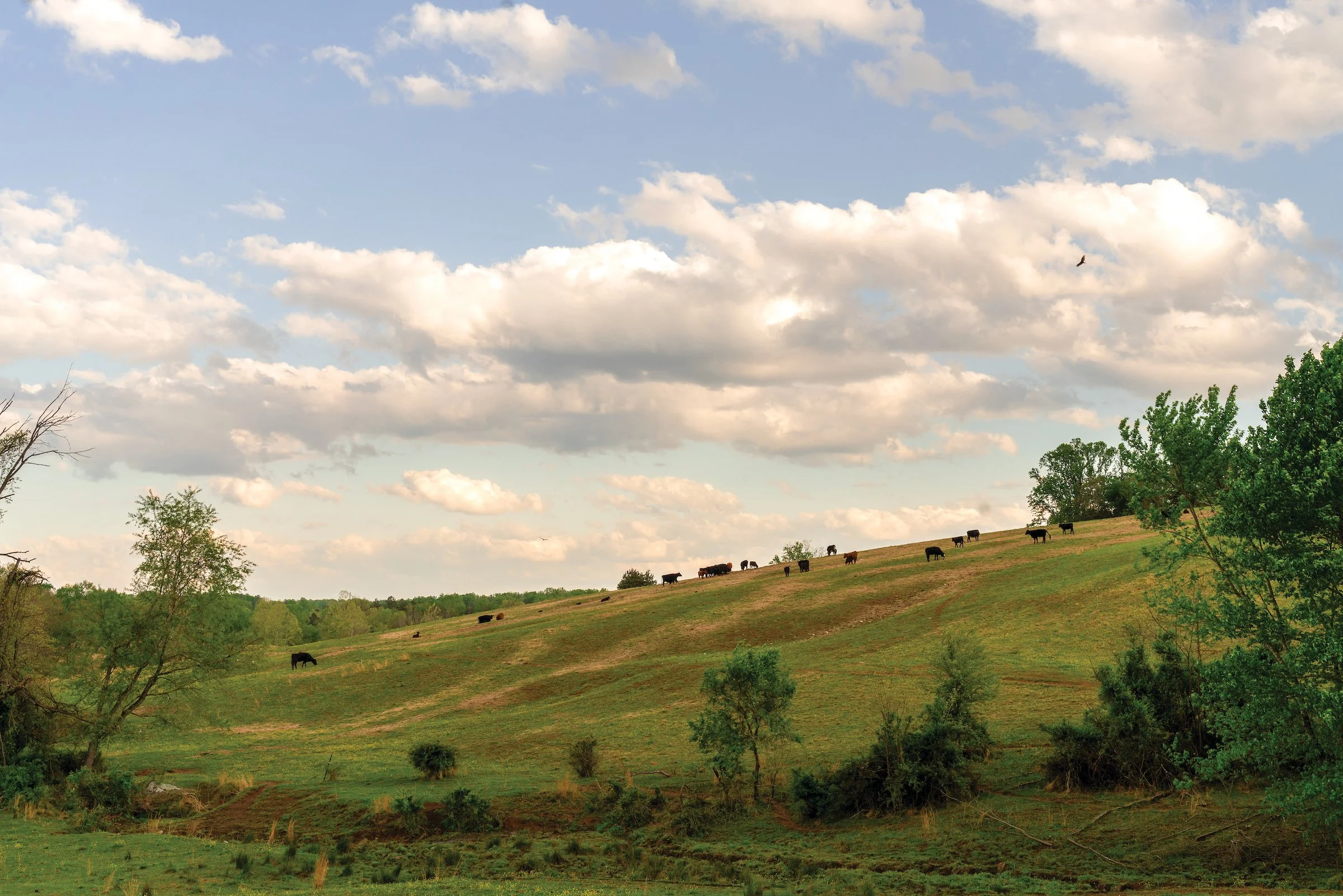
Trail Maps
In Culpeper? Find some trail maps below to make your way around the Culpeper Battlefields State Park!
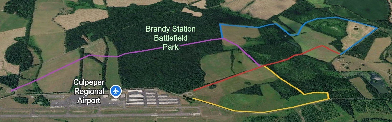
For more trail information, please visit the Virginia Department of Conservation and Recreation or find more information from their website here:
Parking/Trails
Parking is available at the following sites:
Brandy Station - Fleetwood Hill Trailhead (0.26-mile hike with 10 interpretive signs)
Address: 20362 Fleetwood Heights Rd, Brandy Station, VA
Coordinates: 38.50965923678993, -77.87971190254238
There are no restrooms or drinking facilities at this site, so please be prepared in advance for your visit.
Brandy Station - St. James Church Trailhead (0.75-mile hike with 4 interpretive signs)
Address: 13198 St James Church Rd, Brandy Station, VA
Coordinates: 38.52148593623829, -77.86613556305046
There are no restrooms or drinking facilities at this site, so please be prepared in advance for your visit.
Brandy Station – Buford’s Knoll Trailhead (2.52-mile hike with 7 interpretive signs)
Does not have an address.
Coordinates: 38.53210168052754, -77.85810219854996
There are no restrooms or drinking facilities at this site, so please be prepared in advance for your visit.
Cedar Mountain - Visitor Center and Trailhead (1.25-mile hike with 10 interpretive signs)
Address: 9465 General Winder Road, Rapidan, VA
Coordinates: 38.404509913006564, -78.07007663032375
There are no drinking facilities at this site, so please be prepared in advance for your visit.